Visage
A visualization platform for remote drone pilots, built at Windhover Labs during my summer internship.
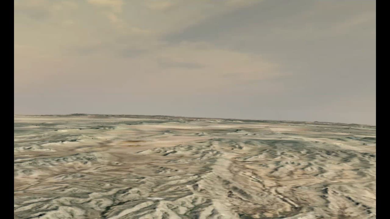
Shows terrain around the vehicle from telemetry instead of streaming a full video feed.
About
The goal was to simplify how much data needs to be sent. Instead of a full video feed, only the drone state goes over the link, and Visage rebuilds the view on the ground. Because the geometry comes from Google Earth photorealistic tiles, the view can be augmented past what a camera alone provides.
Design
Telemetry, Not Video
Pilots see terrain without an extra camera feed over radio or Starlink. The drone state is sent over telemetry, which is magnitudes smaller than streaming video.
Cesium Photorealistic Tiles
Geometry and textures come from Cesium using Google Earth photorealistic tiles. Rendering is OpenGL.
C++ Library
Visage is written as a library with a small API so it can be packaged with other C++ code. Different apps wrap the same core.
GStreamer and FFmpeg
The same codebase plugs into GStreamer or FFmpeg. FFmpeg apps can do things GStreamer prevents, including a Qt control panel over live video.
Proximity Highlight
Terrain too close to the vehicle is highlighted in red so it draws the pilot's attention and helps avoid collisions.
Yamcs Commands
Visage can talk to the Yamcs ground system and send commands to the drone, including touch-to-target from the display.
Apps
The core is shared. Different ending application layers wrap it for different jobs.
The GStreamer plugin sits in the company pipeline next to Yamcs. The FFmpeg path uses the same codebase with a Qt interface that controls terrain effects. That path overlays Cesium terrain on real footage from a drone in the workshop, so you get live imagery plus satellite geometry when you need to pick out something moving in the scene.
Visage can also act as a touch screen into Yamcs. In an investor demo, clicking a tank in the view could send a track command so the drone followed that target when it moved in the workshop.
Vision Enhancements
Synthetic Terrain
Recreate the flight view from telemetry alone, as if a camera were on the aircraft.
Video Overlay
Blend Cesium terrain on top of real workshop or aircraft footage so live imagery and known satellite geometry sit together.
Geometry Edges
White outlines use the actual mesh and catch terrain edges you might miss with color fills alone.
Shading and Blend
Blinn-Phong shading, alpha blending with the real feed, and color customization are all tunable from Qt.